The weather with its scattered rain cloud cover produced better pictures than the first days visit.

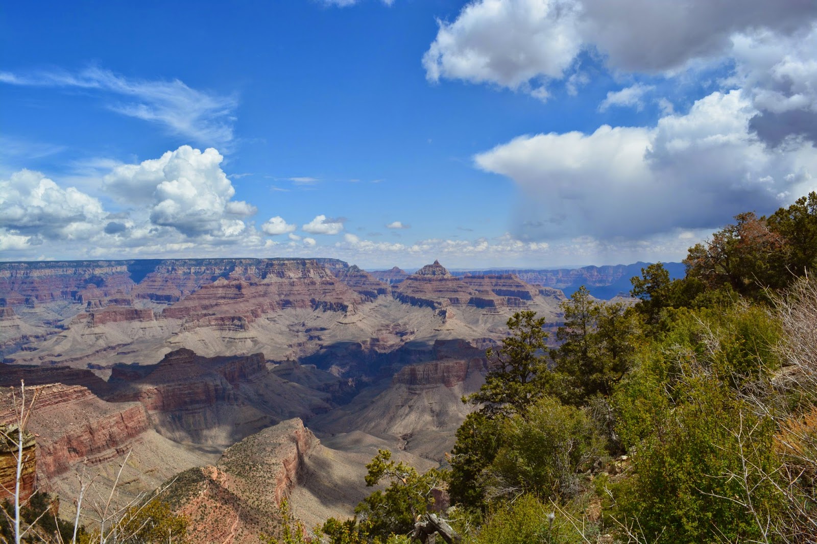
The photos below are at overlooks along the twenty mile rim road from the visitor's center toward the eastern end of the park.


As we neared the eastern park entrance the clouds became more threatening.


We did not stop at the last two overlooks due to sleet which coated the ground like a dusting of snow. Descending to lower elevations outside the park, the roads were totally dry and the temps were back up in the upper 60's. The Colorado river drainage outside the park also produced several deep canyons on the Navajo reservation.


Humphrey's peak looking West from the volcano. The Sunset Volcano (below)

Finally back at the campground I saw this million dollar Marathon/Prevost coach arrive and setup next to the little rPod trailer. Kind of a stark contrast in RV lifestyles. All of these Grand Canyon photos can also be seen on our Flickr.com photostream.

No comments:
Post a Comment
Suggestions/comments:
Comments will appear on the blog after I've approved them. This, unfortunately, is a necessity to prevent spammers.